I can't remember where or when I first heard of Stewart Island - perhaps a travel program or nature documentary - but I can remember storing away the name and thinking 'maybe, one day...' I have always had a soft spot for islands, the coast, and anything remotely maritime, perhaps a legacy of growing up in seaside towns.
When I set out on my three-day road trip from Dunedin in October, the possibility of getting to Stewart Island was one of the factors that helped me decide to head south. I wasn't sure of the road conditions or how far I would get, so I didn't pre-book accommodation on the island. Instead, I based myself in Invercargill for two nights and settled on a day trip.
The ferry left from the small town of Bluff, the southernmost town on New Zealand's South Island. Stewart Island is 30 km south of that, and although I was prepared for a rough trip, I was pleasantly surprised. The seas were quite calm. There was plenty of rain, but that was to be expected: the island has a reputation for it. More surprisingly given its southern latitude, the island is quite mild compared to the South Island. It would be a wonderful base to see the Southern Lights, the Aurora Australis, in the colder months.
The island was first settled by the Maori people from the early 13th century. From the early 1800s, missionaries, miners, sealers, and settlers from all over the world visited the island, some intermarrying with the local population. Nowadays, the permanent population of the island is around 400 and is centred around the town of Oban.
 |
| Approaching the island |
Because I was only day tripping I decided to do a short bus tour of the island. There are few roads on the island, mainly just around Oban itself, but there were some good vantage points that gave more distant views and a feel for the island. Despite the weather, I was quite envious of the small groups of trekkers I saw heading off into the wild for several days.
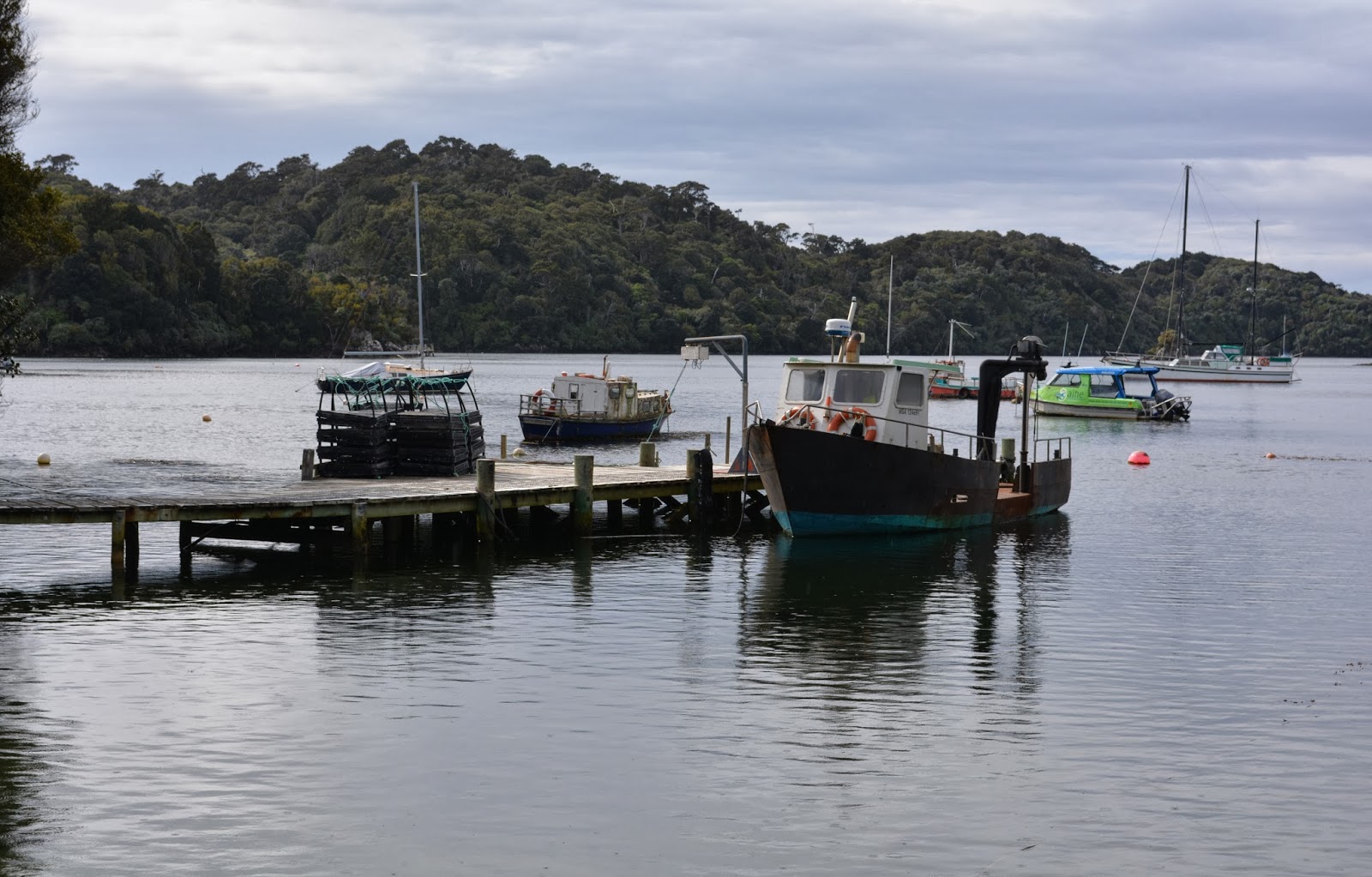
 |
| Looking down on the jetty |
 |
| The township of Oban on Halfmoon Bay |
According to Maori legend, the South Island was the canoe of their god Maui. While he was out fishing he hauled up the North Island. The original Maori name for Stewart Island is Te Punga o Te Waka a Maui, which means the anchor stone of Maui's canoe. In the photo below I am standing under a sculpture representing the anchor chain, and there is a complementary sculpture on the bottom of the South Island where the anchor chain goes into the sea.
 |
| This mother duck looked like she was taking her babies on a very big adventure. I think I would prefer a pond for my maiden voyage rather than the rough sea. |
 |
| The path into Rakiura National Park, which covers 1570 square km - about 85% of the island |
After the two-hour tour I returned to Oban, enjoyed a delicious lunch at the South Sea Hotel overlooking Halfmoon Bay, and then set off on foot to see as much as I could before reboarding the ferry and heading back to my cosy motel room.
 |
| The fishing coop on the jetty |
 |
| Sooty Oystercatchers |
 |
| Pied Oystercatcher |
 |
| Looking aback at Oban and the pretty church on the hill |
 |
| Stewart Island Shag |
 |
| Looking back on Stewart Island from the lookout at Bluff |


oh that looks like a lovely place to visit.
ReplyDeleteThe perfect place to hideaway and write that novel or paint that masterpiece (or in my case, catch up with the paperwork!)
ReplyDeleteIt looks so peaceful there....lovely photos Marisa.
ReplyDeleteI am glad that were able to visit Stewart Island and take me along with you.
Glad of your company, Virginia.
Delete